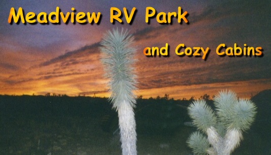


Meadview Information Home Page
Construction
at South Cove:
Personal Watercraft Rules:
For
the rules for Personal Watercraft on Lake Mead Click:![]()
Cozy Cabins: Await your
arrival.
Comfort and privacy in one nice package. View
the link to our Cabins available
in Meadview.... Click:
![]()
Directions from Las Vegas, Nevada: Go South on Highway 93 across the bridge at Hoover Dam, continue to milepost 42 and turn left on to Pierce Ferry Road past Dolan Springs to just past milepost 34. Turn right on Sandview Road and immediately left to the RV Park.
Directions
from
Kingman, Arizona:
Go North on Stockton Hill Road and turn right on
Pierce Ferry Road continue to milepost 34. It
is about 60 miles from
downtown Kingman.
RV Park Address: Meadview RV Park, 28100 N. Pierce Ferry Road, Meadview, AZ. 86444-0301
RV Park GPS Co-ordinates: N 35° 56.410' x W 114° 05.208
Services Available:
Most
of the services that you might require are available in Meadview:
![]() and
and
![]() ,
ATM, minor groceries, gasoline, diesel fuel,
motels, post office, hardware
store, religious services, some auto repair, restaurants, etc. Our newest
addition is a Family Dollar store not far away. We do not, as yet, have a super
market.
,
ATM, minor groceries, gasoline, diesel fuel,
motels, post office, hardware
store, religious services, some auto repair, restaurants, etc. Our newest
addition is a Family Dollar store not far away. We do not, as yet, have a super
market.
Propane: We have a Propane Filling Station to top off our amenities. Our price compares to other facilities.
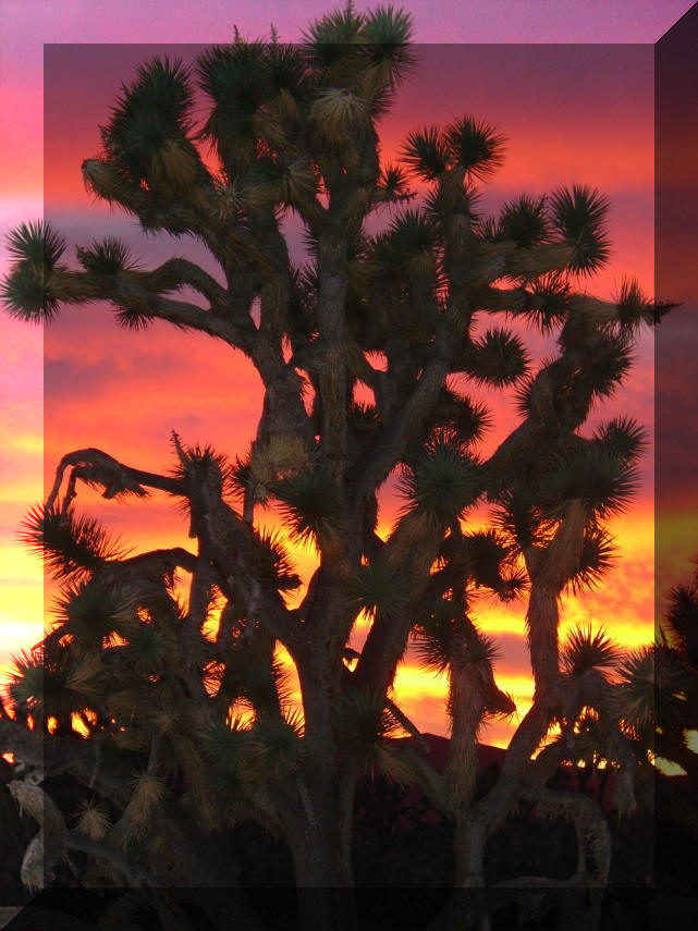
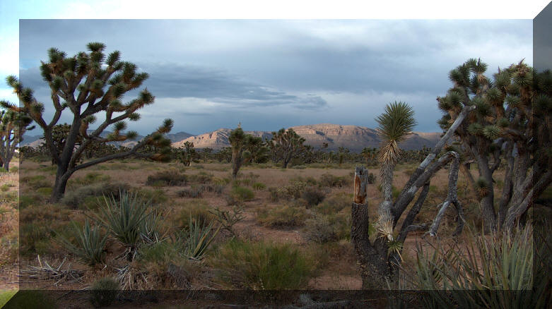
Sunset in Meadview
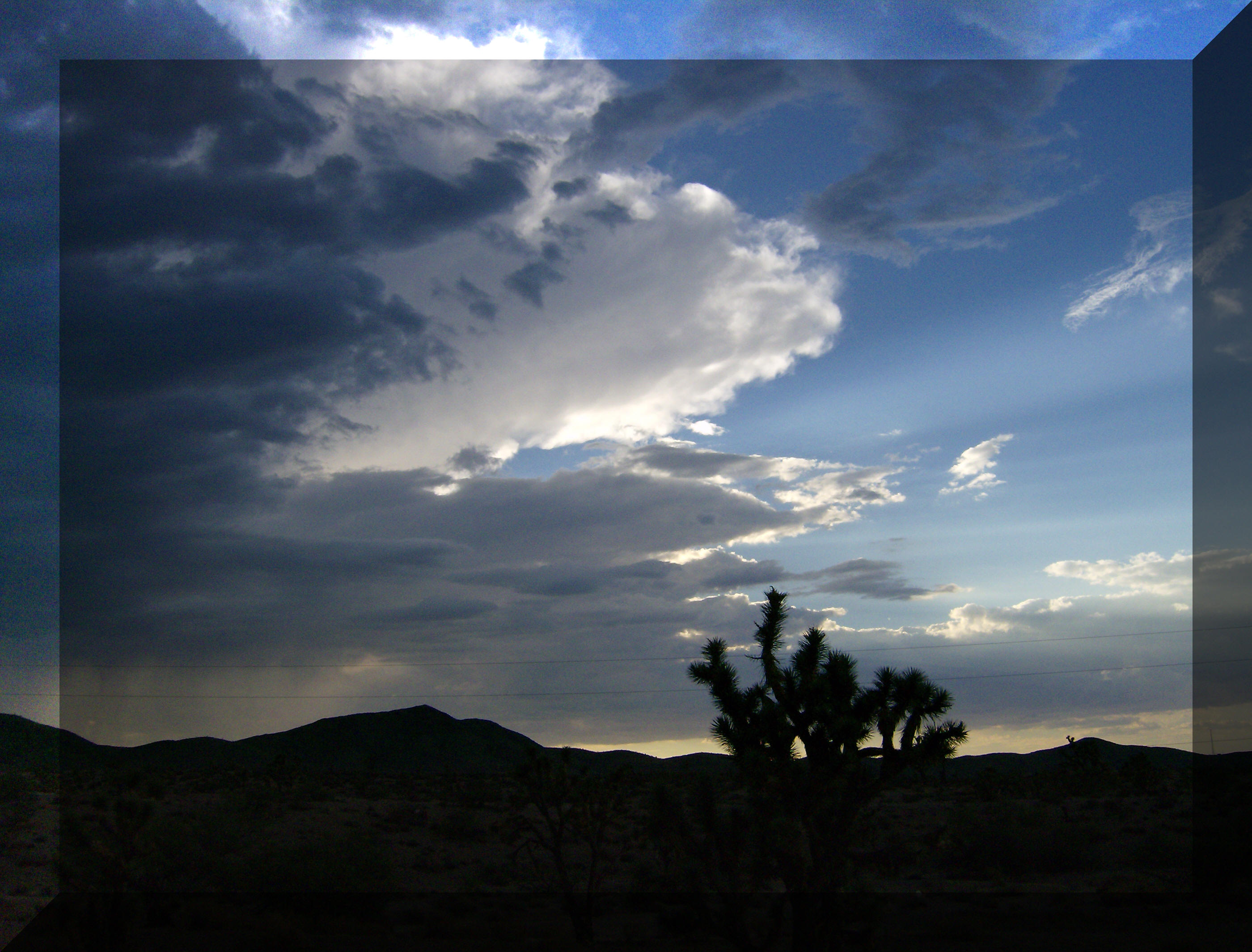
A Storm Brewing
A little background information on the Lake Mead Recreation Area and the Grapevine Mesa:
Lake Mead National Recreation Area:
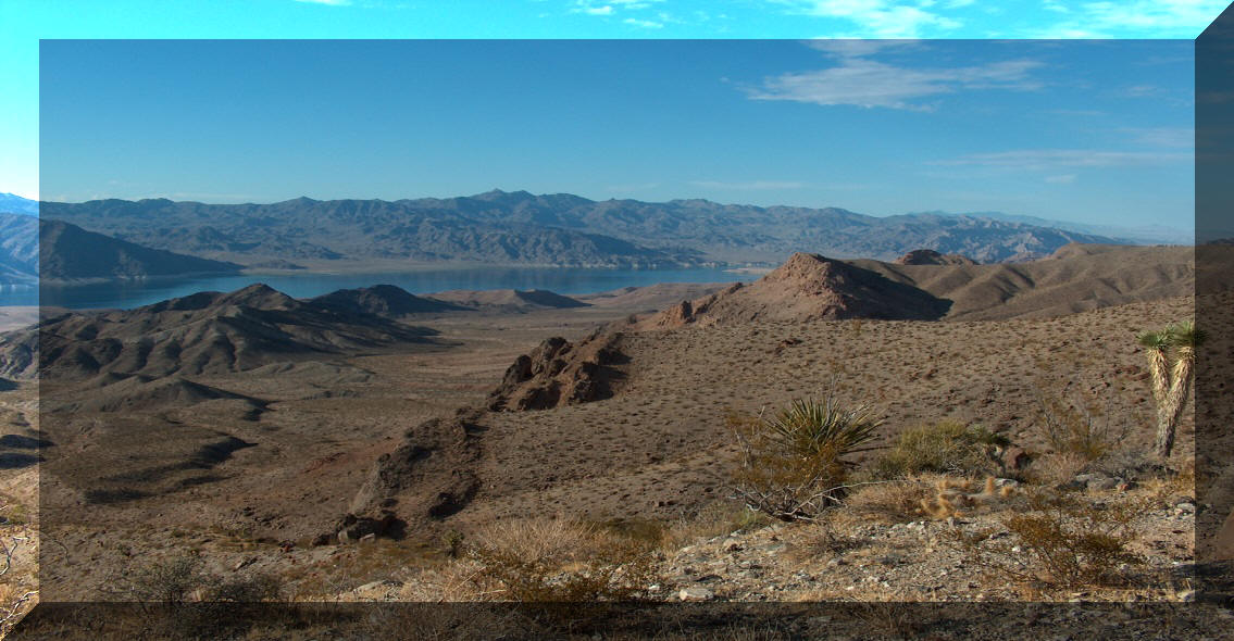
Gregg Basin on Lake Mead
Boating on Lake Mead is at its best at this end of the lake. Crystal clear water, fantastic scenery, miles of open water and clean beaches. Peace and solitude are yours for the asking - and the fishing is great!
Lake Mead National Recreation
Area has over 3000 square miles of environmentally protected riparian
scenery. According to the 1998 "Information Please" Almanac, Lake Mead
is the largest National Recreational Area in the United States with an acreage of
almost one and a half million acres.
Beginning at the east border are
the Grand Wash cliffs which rise to 6000 feet. The cliffs are the
gateway for the Colorado River as it leaves the Grand Canyon and becomes
Lake Mead. The lake is 115 miles long, terminating at Hoover Dam (the
tallest dam in the Western Hemisphere.) The dam rises 726.4 feet from
bedrock to the paved road across this mile long concrete marvel.
Lake Mead is America's largest
man made lake covering 229 square miles with a storage capacity of 30
million-acre feet of water. The 500 miles of shoreline changes
dramatically from one area to the next with steep cliffs, deep coves,
sandy beaches and always a vast panorama of photographic opportunities.
The eastern end of the lake is fabled for its fishing. Fish to be caught
include bluegill, large and smallmouth bass, striped bass, that can reach monster sizes
of up to 60 pounds, catfish
(also known to acquire monsterous proportions), and once in awhile,
a trout.
In the coves or on the cliffs
that line the lake, you can see the majestic desert bighorn sheep. The
rams are
sturdy animals
carrying massive curved horns and boasting large harems of ewes with
their young. The wild burros, descendants of those left behind by
discouraged prospectors, drink at the water's edge, as do bobcats, cougars,
and coyotes. Few nights pass without a serenade from a family of
coyotes. Badgers, cottontails, the wily black-eared jackrabbit, and
even deer can be found within the park boundaries. Antelope are quite
rare, but are seen occasionally.
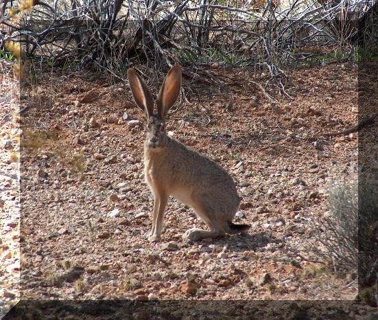
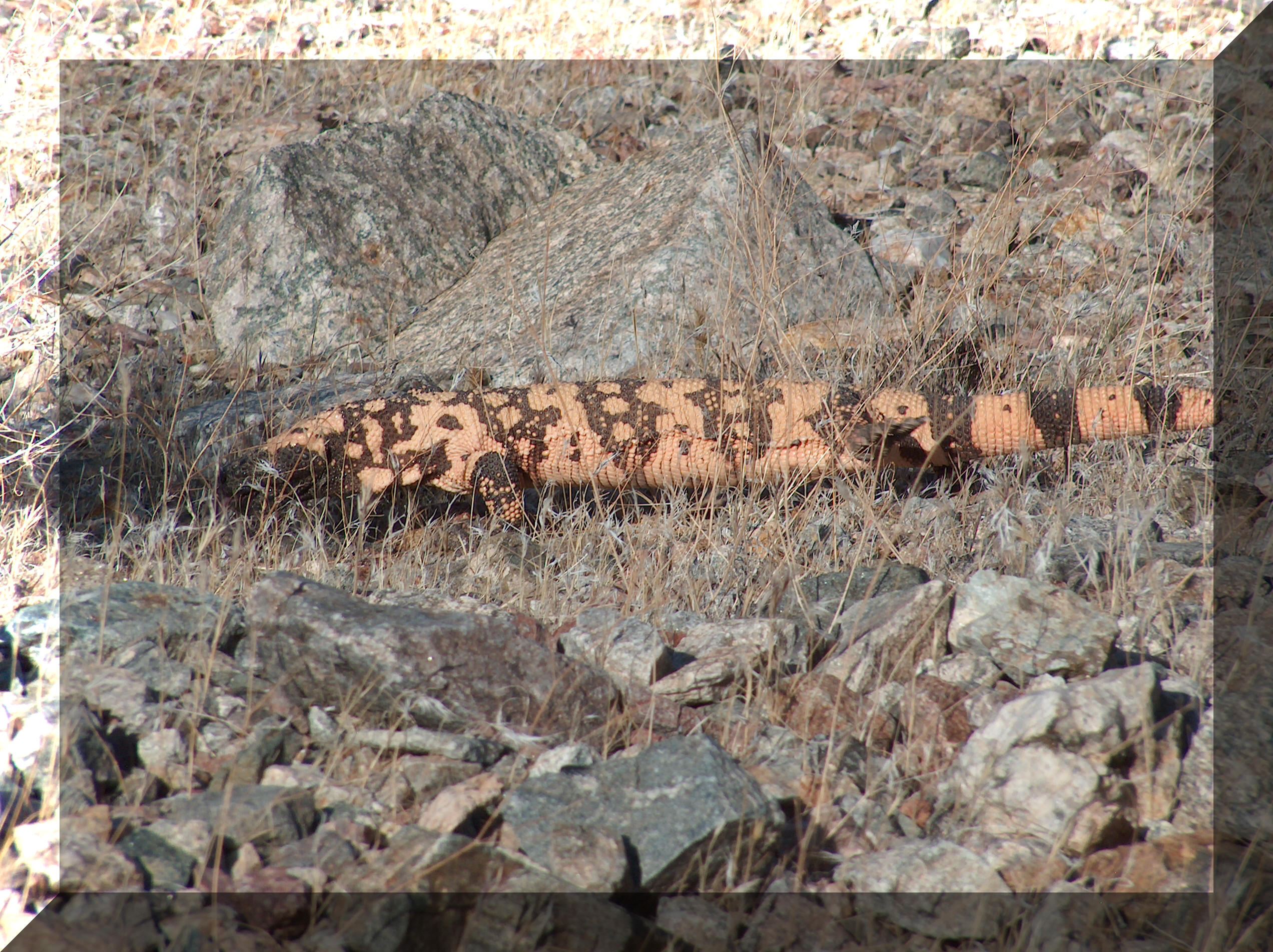
Lepus Californicus Gray (Black-Eared Jackrabbit) Heloderma Suspectum (Gila Monster)
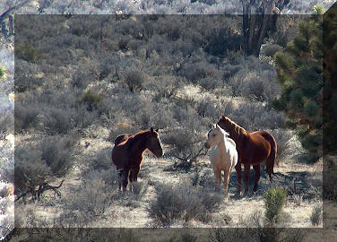
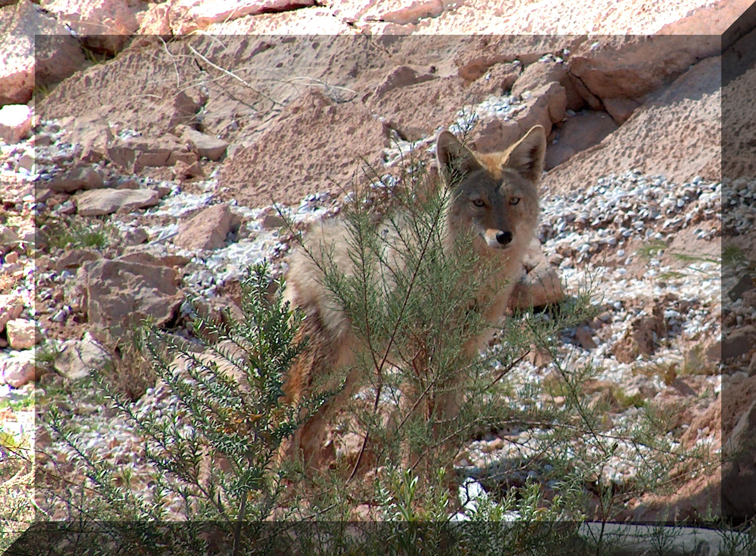
Wild Horses on the Mesa Canis Latrans (Coyote)
Gambel's quail thrive in our area, sometimes numbering in the hundreds as they search for seeds under the brush. In season, bird watchers can find over 250 species of birds ranging from 5 kinds of humming birds to the osprey, golden eagle, and even the bald eagle. There are 60 species of waterfowl including ducks, herons, brown pelicans, geese, coots, terns, and the small swan-like billed grebe, and the "lesser" grebe. Songbirds, owls, hawks, ravens and the turkey vultures are constant visitors to the area.
At Grapevine Springs, you will find beds of the scarlet monkey flower. The yellow wild columbine trails over the cliffs at Columbine Falls. Throughout the rest of the area you will find desert plants that survive our dry climate with only six inches of annual rainfall. This generally occurs in July, August, and again in February. On rare occasions during the winter months we have had some snowfalls of between 2 and 5 inches.
The Grapevine Mesa
On
the Grapevine Mesa the chaparral includes creosote bush, rabbit bush,
cat claw, joshua, yucca and large cholla,
plus many flowering cactus.![]()
Desert Foliage
(All Photos by Annie)
In the dry washes of the mesa you can spend many hours digging for gold - and you can find it! A 12-ounce nugget was found by a weekend gold seeker a few years ago and dozens of others have found smaller nuggets and flakes.
The
hiking and 4x4 trails are numerous and selection of difficulty is wide.
A very short history of the area:
The Grapevine Wash has long been well traveled and is known as the Ute trail from the Colorado River south to Hopi and across into California. In more recent history the Mormons used this trail to trek their trade wagons to the Hopi and Navajo villages.
In the 1820's
Jedidiah Smith crossed the Virgin River, (Virgis River as it was known then)
and then across the Colorado to reach the California territory. In 1869 John
Wesley Powell (1834-1902), geologist, explorer, and one-armed civil war
veteran, led his band of explorers through the Grand Canyon past Pearce
Ferry and South Cove and they ended their river trip where the Virgin enters
the Colorado.
Boulder Dam was started in 1931 and finished in 1935. Over 90 men died during its construction. In 1953 the dam was renamed for Herbert Hoover who was president when it was originally conceived. Henry J. Kaiser, a ship builder, was the contractor on the dam. The lake was named for Elwood Mead, commissioner for Reclamation in the early 1930s
![]()
Questions or comments about the website? E-Mail the webmaster.
