Local History
Land for the Meadview development was purchased in
1960. Portions of that land were later determined to be inside the Lake
Mead National Recreation Area and that land was exchanged for inland
parcels. Meadview now has around 900 homes with some 2500 residents.
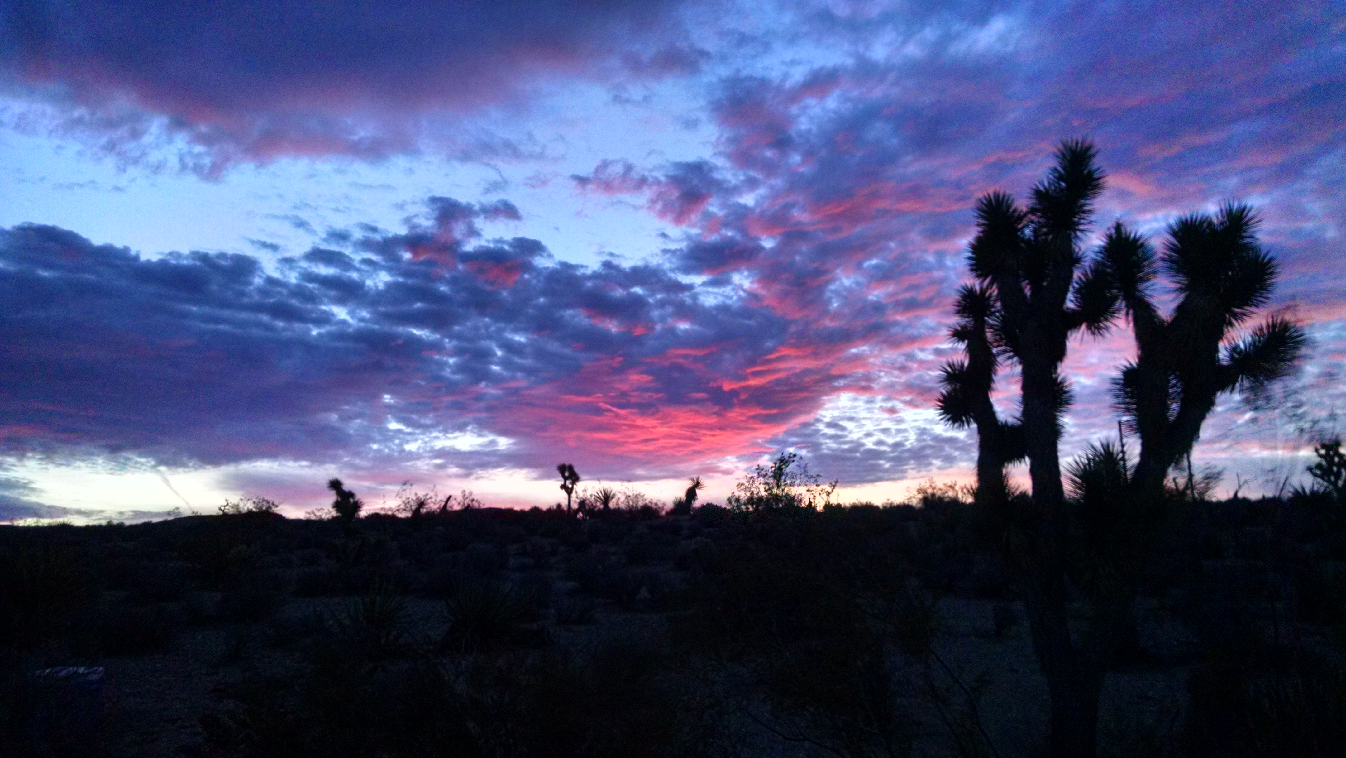
Meadview lies at elevations between 3100 and 3500
feet, 10 miles south of Lake Mead, between Kingman, AZ. and Las Vegas,
NV. The Ute Trail, used for centuries by Indians crossing the Colorado
River, is in the Grapevine Wash located east of Meadview. The trail
continues to the south of Grapevine Wash with one branch continuing to
the west at Cottonwood and the east branch crossing Hualapai land to
reach the Hopi land.
Harrison Pearce (or Pierce), in penance for his
participation in the Mountain Meadows Massacre in 1857, was sent by the
LDS church in 1860 to run a ferry across the Colorado at the Ute Trail
crossing.
Pearce Ferry is now a dry boat ramp and was the preferred landing for all raft trips through the Grand Canyon. There has been an extension created to the road at Pearce Ferry Landing that culminates at the Colorado River above the Landing. The Hualapai Indian rafting trips use Pearce Ferry.
Other ferry crossings were set up - Bonelli, Scanlon,
etc. but all were covered by the waters of Lake Mead when that lake was
formed after the building of Boulder Dam (now known as Hoover Dam) in
1935.
Hoover Dam is a concrete dam 726 feet above bedrock built in Boulder Canyon of the Black Mountains. The lake is 110 miles long and influences the rush of the waters of the canyon 60 miles up into the canyon - in fact rafters, unless using motorized boats, dislike the slow rafting down the last 60 miles of their 287 mile trip and use speed boats to off-load passengers 60 miles above the lake.
South Cove boat ramp was built and paved in 1965/66 over a period of 15 months and at a cost of over 1 million dollars. At that time it was the largest construction ever undertaken by the National Park Service. The road to South Cove is paved and in recent years the boat ramp area has been greatly expanded and improved. South Cove is 60 miles above Hoover Dam.
East of Pearce Ferry, 750 feet above the water in Lower
Granite Gorge, is Sloth Cave (also called Rampart Cave). Once home to the Giant
Sloth 40,000 years ago, the cave was used as a laboratory by the University of Arizona, the
National Science Foundation, and the Smithsonian Institute to study that animal.
A fire in 1976 raged for months and caused much damage to this study area. The
NPS built a steel gate across the entrance to the cave to restrict public
access.
Bat Cave is located approximately 75 miles above Hoover Dam,
in the Grand Canyon. In the 1930s, bat cave was a source for hardy men to dig
bat guano which was bagged and loaded into ferry barges and sold as fertilizer,
especially for roses. In the 1950s a steel cable carried a gondola across the
7500 feet of the canyon, 2500 feet above the water, transporting the guano until
the guano ran out and the mine closed. In 1963 a jet plane from Nellis AFB hit
the cable cutting it in two. The plane made it back to Nellis even though the
tail was damaged. In 1995 the NPS wanted to destroy the cable towers and remove
the dangling cables, but efforts by local residents forced the cancellation of
those plans. For a more detailed history of the operations at the bat cave click here:
![]()
The Grapevine Mesa, indeed, the whole area between Kingman
and Hoover Dam is dotted with old mine sites and abandoned cabins.
Check out our page on
![]() and the page on
and the page on
![]() in the Meadview area if you are interested in exploring off the
beaten path.
in the Meadview area if you are interested in exploring off the
beaten path.
For a more detailed history of a
wider area around Meadview click on
![]()
If Meadview sounds like the kind of a place you might want
to live permanently there are several real estate agents both on line and listed
in the yellow pages waiting to serve you - or contact us for more names and phone
numbers.
(Photos by Mike Kelley)
Questions or comments about the website? E-Mail the webmaster.
